Welcome to Fennell Bay
A lively lakeside community nestled among beautiful bushland
Update June 2025
Planning for the Fennell Bay site is ongoing.
The project
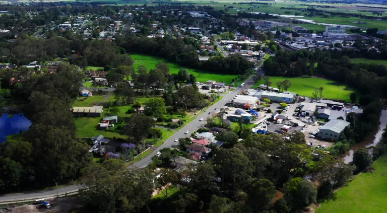
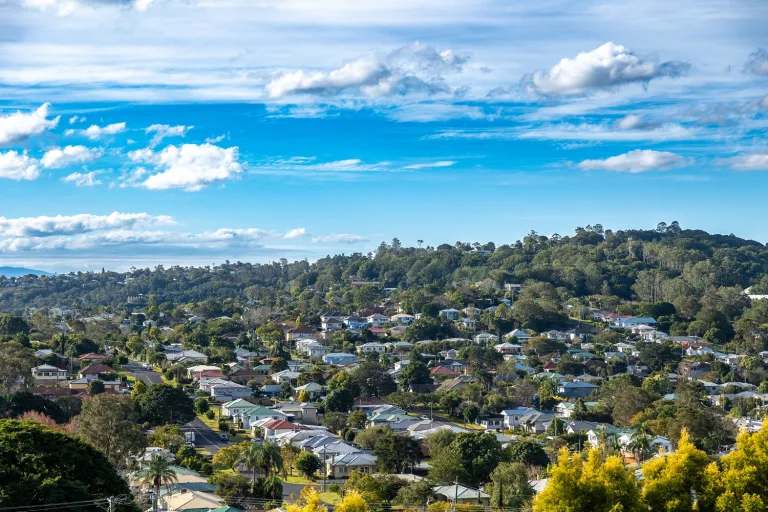
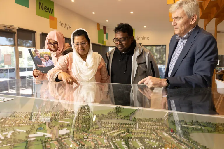
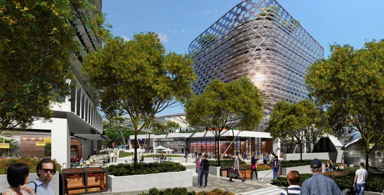
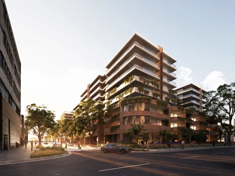
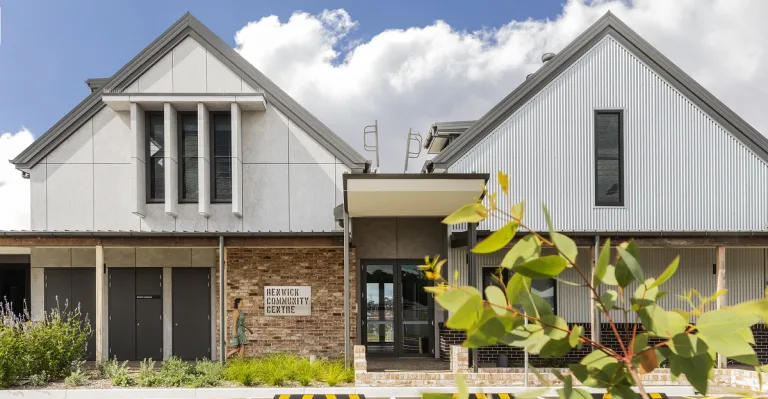
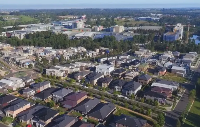
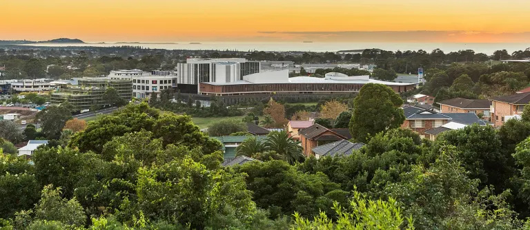
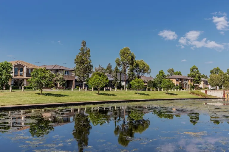
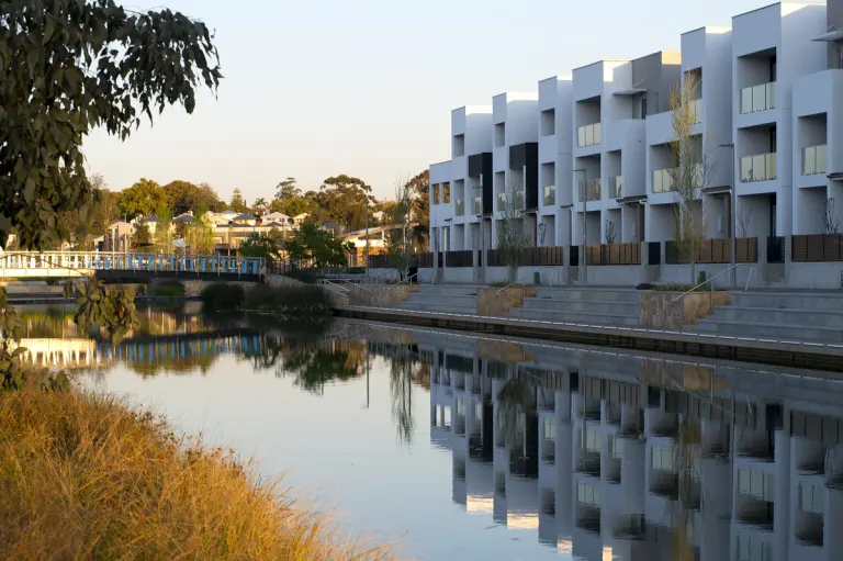
Landcom is planning a flourishing masterplanned community in Fennell Bay, an attractive lakeside suburb in Greater Newcastle’s Lake Macquarie region.
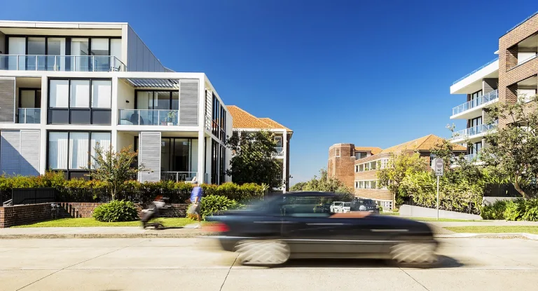
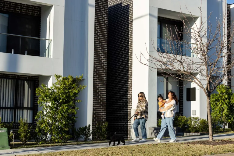
The proposal includes diverse housing alongside new public spaces and amenities to foster a strong local community.
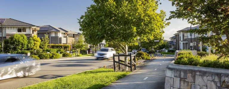
To ensure housing can support a range of needs and lifestyles, residential lots of various sizes will be provided, with 5% of homes reserved for affordable housing.
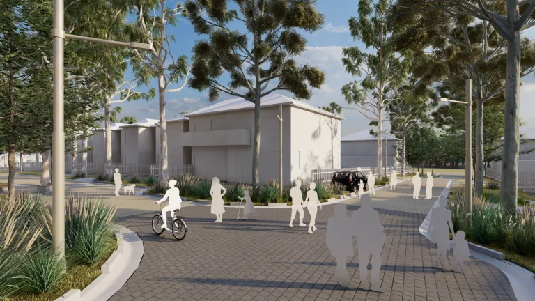
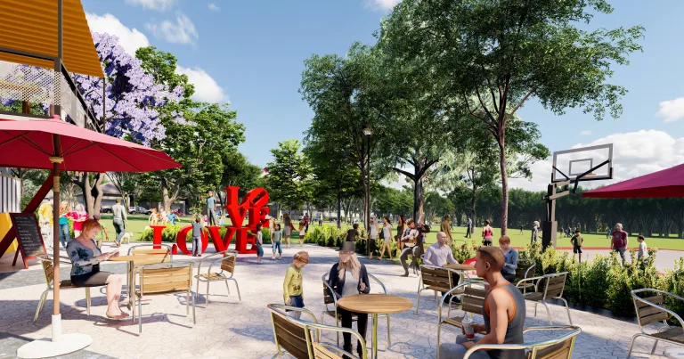
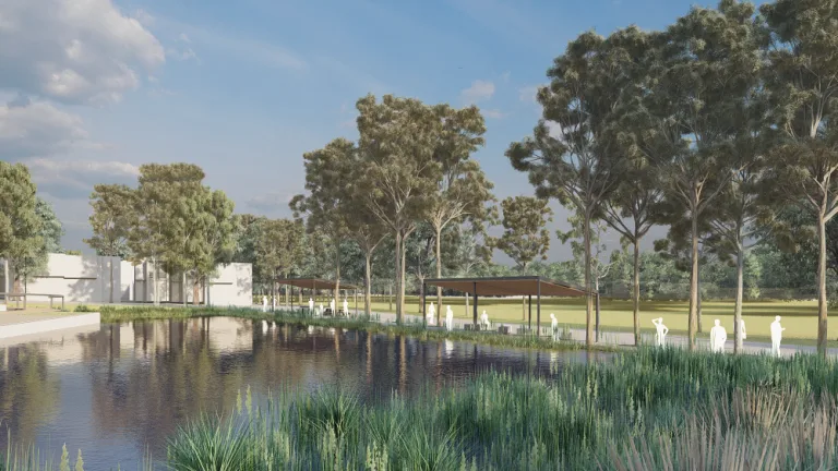
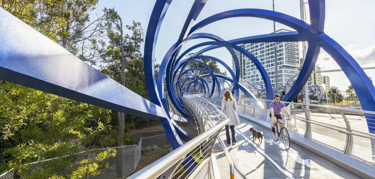
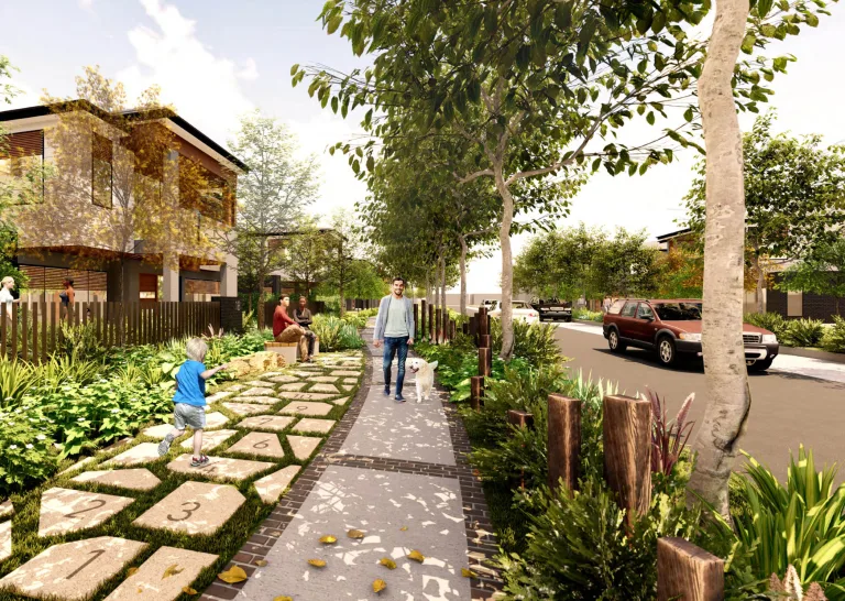
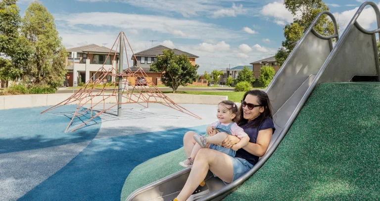
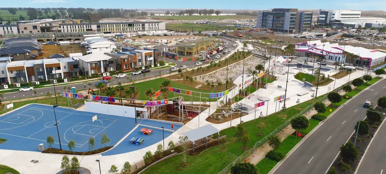
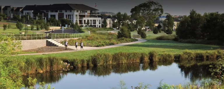
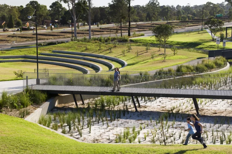
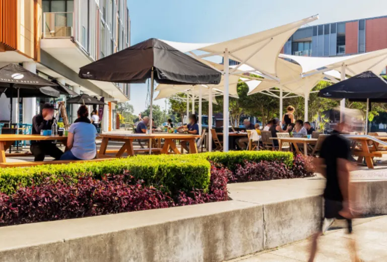
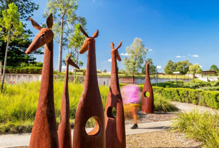
Connection to nature is at the heart of the project, with the proposal protecting large areas of bushland, and creating walking and cycling paths, parklands, waterways, public open spaces and a community hub.
Close to Toronto, Glendale and Warners Bay, as well as the Booragul and Fassifern train stations, the proposal is poised to deliver a wonderful new suburb, where people, communities and nature can all thrive.

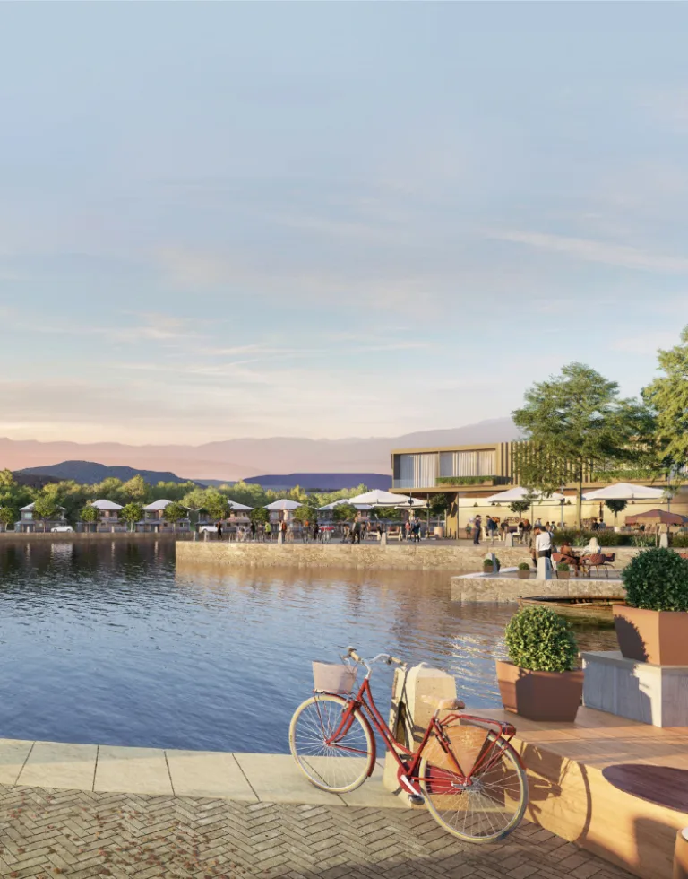
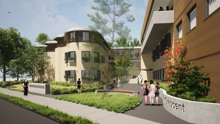
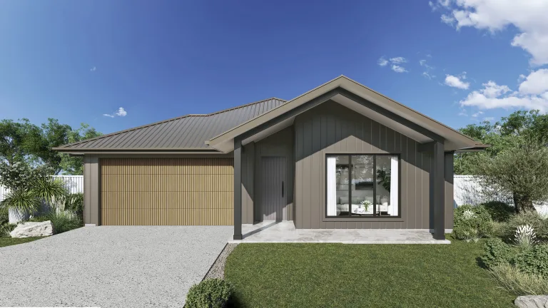
Indicative artist's impression, subject to change and approvals.
Location
Old Main Road, Fennell Bay
Local council area
Lake Macquarie City Council
Project area
265 hectares
Design and sustainability
Fennell Bay’s design will respect and enhance the existing bushland through:
- conservation of the majority of onsite bushland, certified under the NSW Biodiversity Conservation Act 2016
- 4.5 hectares, comprising shared cycling and pedestrian paths, play equipment, sports facilities and barbecue facilities, in addition to conservation of major bushland on site
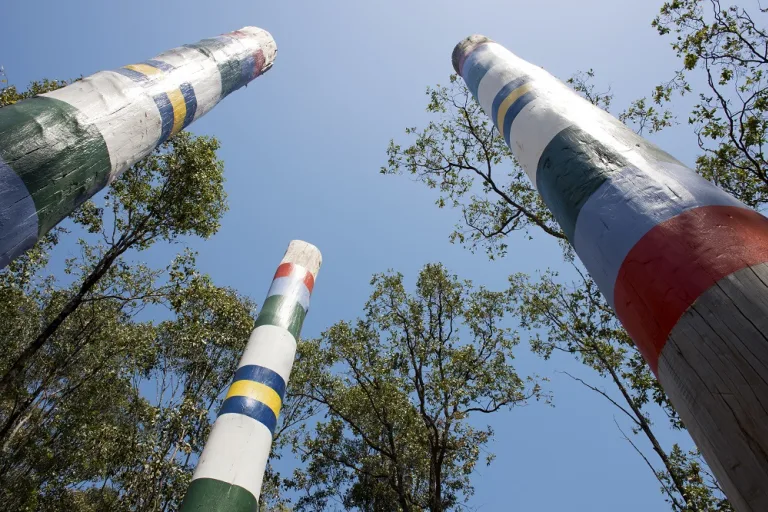
- public spaces focused on the cultural and natural heritage of the site
- water-sensitive design to minimise stormwater runoff
- retention of hollow bearing trees, which provide habitat for birds and other native animals.
Where possible, best-practice urban design will be used to ensure nature flourishes, providing a healthy habitat for birds and other wildlife. Communal areas will also highlight the importance of the site’s cultural and natural heritage.

Proposed homes
550-650 lots
Sustainability
Conservation of bushland habitat for local wildlife
Delivery timing
Planning proposal to be lodged with Lake Macquarie City Council in 2025
Timelines
FAQs
Fennell Bay
What is the planning and approvals process for the Fennell Bay project?
Landcom is seeking to rezone part of the site to enable new housing, however the majority of the site would be zoned for environmental management and conservation.
In late 2019, the NSW Department of Planning and Environment issued a Gateway Determination to rezone the site and identified studies that we needed to complete to inform the planning proposal.
We submitted the planning proposal to Lake Macquarie City Council in late 2021, and this was then reviewed by NSW Government agencies. We are responding to their feedback and hope to lodge an updated proposal in 2025.
How is the community being consulted?
We consulted the community in late 2020 and early 2021 and considered key issues raised to refine the masterplan, which informed the planning proposal.
Consultation included an online survey, a call for submissions, focus groups and a meeting with a local environment group. We received 40 email submissions and identified the following key issues for further consideration:
- protecting native plants and animals
- managing the impact of traffic on Toronto Road
- managing construction noise
- creating connections and pathways from the site to surrounding bicycle and walking paths
- providing affordable and diverse housing options
- visual amenity and the provision of community services and facilities
- use of sustainability measures in the development, such as solar energy
- Aboriginal heritage and culture
- mitigating the risk of bushfires.
The outcomes report provides a summary of the community consultation.
How is Landcom managing biodiversity at the site?
We have been undertaking studies since 2016 to understand the site’s biodiversity, and we are proposing to conserve the majority of the bushland on site.
Our planning proposal was assessed against the NSW Biodiversity Assessment Conservation Act 2016, and we are preparing a Biodiversity Certification Assessment Report outlining how we will avoid, minimise and offset impacts on the site’s biodiversity through mitigation measures and ongoing management.
The Biodiversity Certification Assessment Report will be formally exhibited, before being assessed by the Department of Planning and Environment.
What bushfire management controls will be put in place at Fennell Bay?
We are working closely with Lake Macquarie City Council and the NSW Rural Fire Service to minimise the bushfire risk to future homes. This has influenced the design of the road network, access to and from the site, and buffers between the bush and residential land.
A Bushfire Assessment Report is being prepared as part of the revised planning proposal to identify bushfire hazards and how to manage and mitigate risks. The assessment will consider:
- street designs, in terms of how they comply with bushfire safety requirements
- materials and construction requirements for future homes to minimise potential damage from bushfires
- how development will provide infrastructure to support firefighting operations
- bushfire hazard reduction burns for retained bushland, which will be included in a Plan of Management for the conservation area, to minimise bushfire risk to the community
- how water sensitive design and water features could provide additional water for emergency services.
How is the site’s history and heritage being considered in planning?
The site contains a number of Aboriginal and European heritage items. We are working closely with Lake Macquarie City Council and Heritage NSW to determine the heritage assessment requirements for the project.
Aboriginal heritage
The Awabakal people are the traditional custodians of the land surrounding Lake Macquarie. Consultation with the Aboriginal community has identified a number of Aboriginal heritage relics on the site.
An Aboriginal cultural heritage assessment has been prepared, which investigates how significant the relics are and how to manage them.
We are working with the Aboriginal community to investigate cultural values and opportunities to celebrate the history of the area.
European heritage
The site was previously used for coal mining, similar to large parts of the Hunter region, before the mining leaseholder, Glencore, ceased operations in 2015.
Early investigations have identified relics on site, which are mostly associated with the site’s previous use for coal mining. Where possible, the masterplan avoids these areas.
A historical heritage assessment has been prepared as part of the revised planning proposal, which outlines the significance of heritage relics and how to manage them.
How will traffic and transport be managed
We prepared a traffic and transport assessment which considers:
- the existing capacity and operation of the local road network
- impacts of the proposed development on the surrounding road network
- public transport, and walking and cycling connections, to help reduce car dependency
- alternative street designs in some locations, which could promote slower vehicle speeds through reduced roadways, with increased street plantings through wider verges, and provision of safe walking and cycling connections through shared pathways
- parking rates for the area.
The proposal keeps a bushland buffer along the eastern boundary of the development, which would enable Toronto Road to be widened in the future, if needed. It also includes two access points to better manage traffic travelling to and from the site, plus walking and cycling tracks.
If you require the services of an interpreter, please contact the Translating and Interpreting Service on 131 450 and ask them to call Landcom on 02 9841 8600. The interpreter will then assist you with the translation.
About Landcom
We develop land and property, increasing the supply of housing for the people of NSW.
As a state-owned corporation, we are a commercial business that achieves public outcomes while also generating financial returns for the NSW Government. We enable development by de-risking and unlocking strategic and complex sites in collaboration with landowners and the market.

